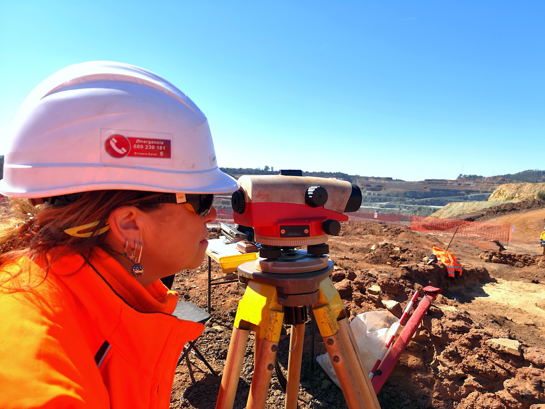
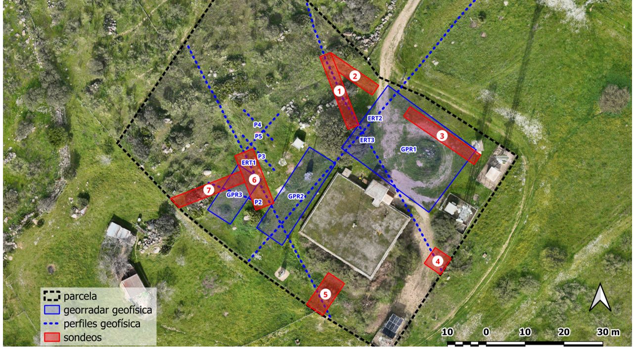
At ARQ-analítica we carry out archaeological topography and graphic documentation work aimed at the precise recording of sites, structures and archaeological contexts, as a fundamental basis for their analysis and interpretation.
The documentation is supported by photogrammetry and planimetric survey techniques, allowing the generation of precise representations of the terrain, structures and documented elements during the intervention.
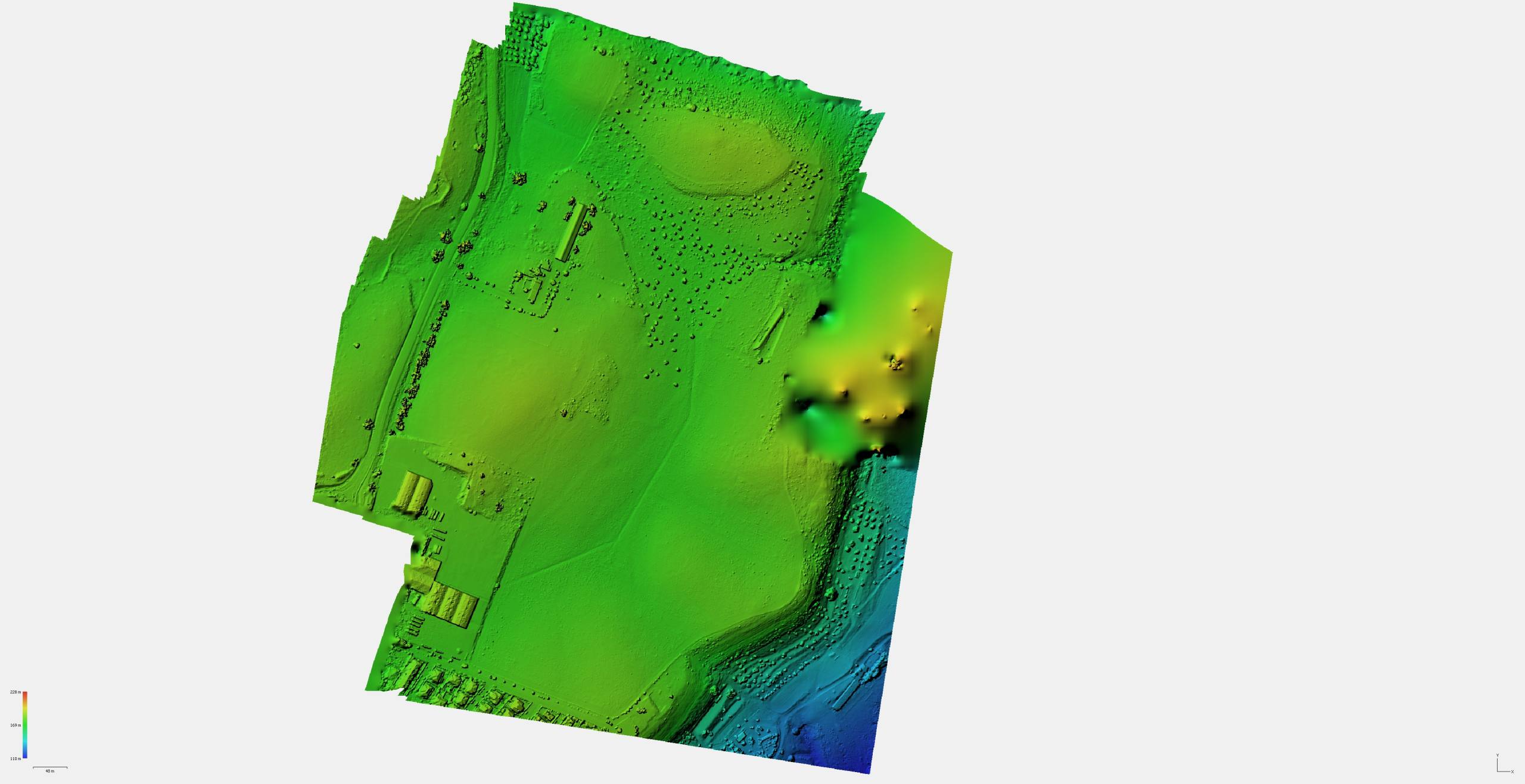
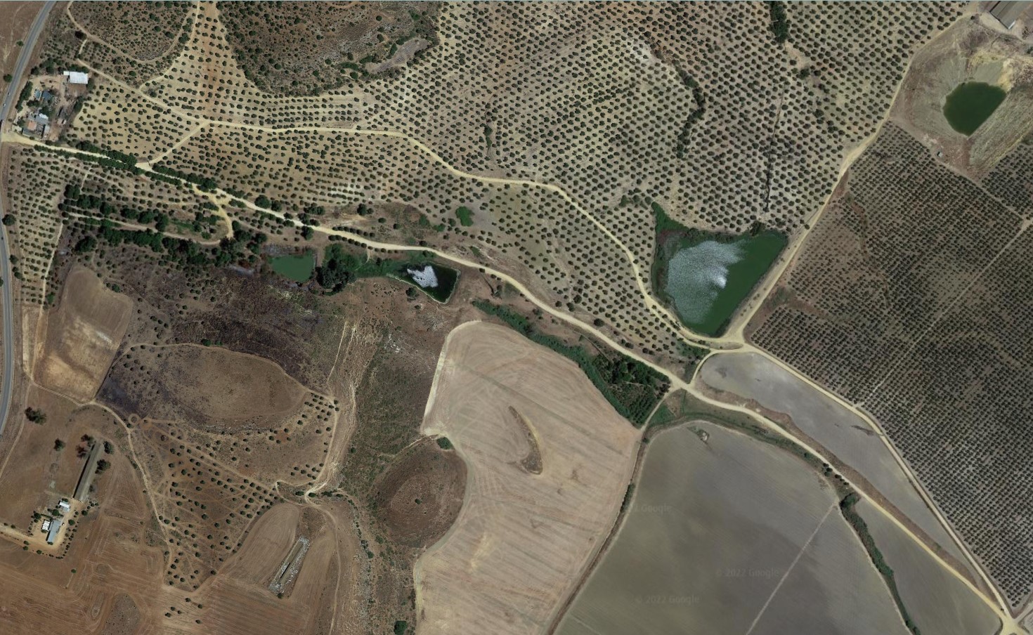
These works can be complemented with drone flights, facilitating the acquisition of aerial information, the generation of three-dimensional models and the preparation of planimetric maps adapted to the project’s needs.
The integration of these methods allows for rigorous, coherent and reusable documentation, fundamental both for archaeological research and for heritage management and conservation.